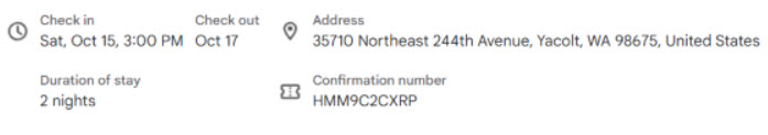
Where we are staying


A
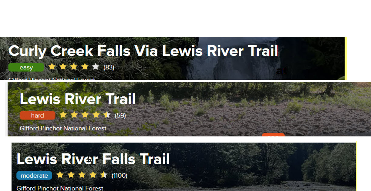
Three hikes we will do that are on AllTrails
B
First Hike we will do
Curly Creek Falls
Description given on Alltrails
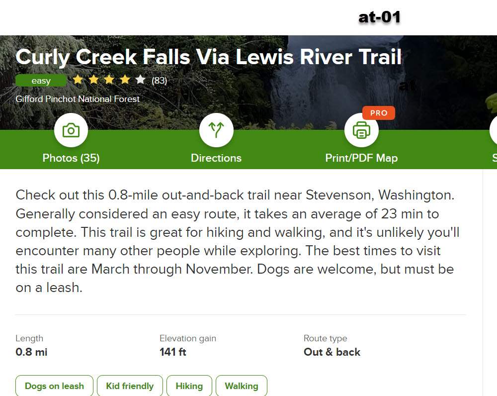
Hike Description
1) Take the wide trail tread to an unmarked junction with the Lewis River Trail #31.
---- The Lewis River can be heard down below in its canyon.
2) Turn right, traveling along the bluff high above the river, and soon reach the viewing platform for Curly Creek Falls.
---- Curly Creek plunges to the Lewis River in tiers, passing beneath two rock arches.
3) Continue on the trail for a few hundred feet to a second viewing platform for Miller Creek Falls.
=---- It pours into a plunge pool above the level of the Lewis River, then cascades down to the river.
-------Miller Creek Falls runs all year, but may only be a trickle in late summer and early fall.
4) Miller Creek Falls is the end of the official trail, although a boot path wanders off into the forest beyond the viewing platform.
5) Return the way you came.
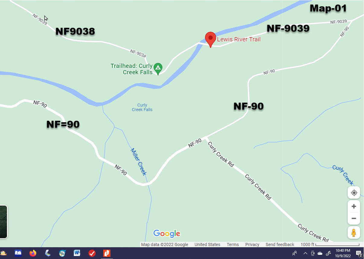
Driving Directions
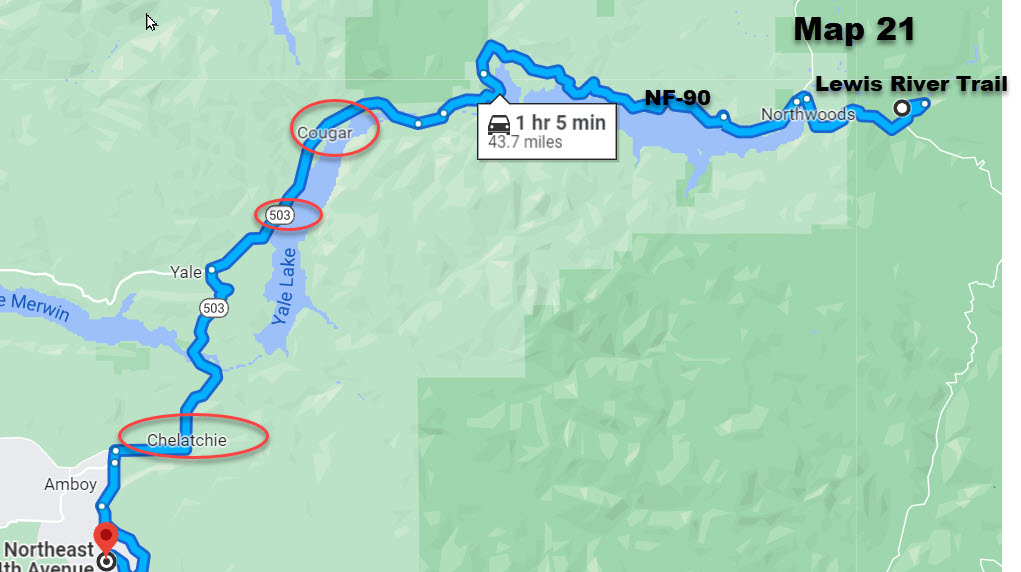
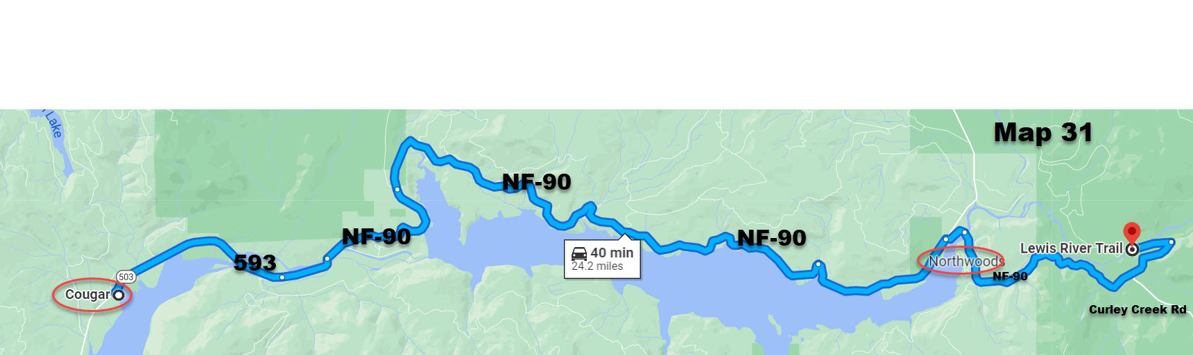
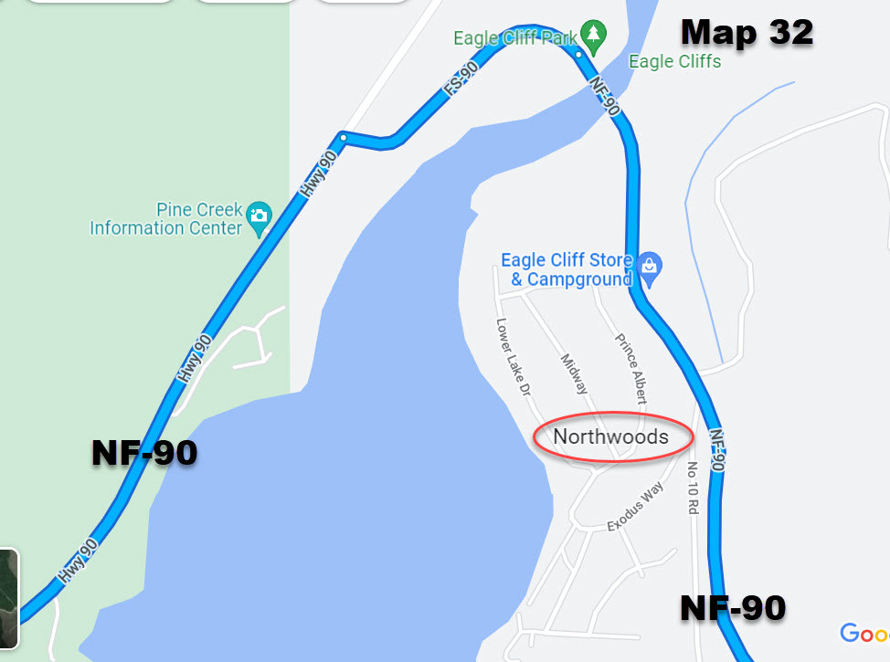
1) From Cougar, WA drive about 20 miles east on Forest Road 90 to its junction with Forest Road 9039.
2) Turn left (north) onto this road and continue 0.75 mile.
3) Cross the Lewis River and then turn into the parking area on the left, just beyond the bridge.


Driving beyond Cougar
Other info on this hike see
Click Here to go to this hike on AllTrails website
Click here to see hike description on Washington Trails Assoc
Click Here to see this trail on Forest Service website
2nd
Second Hike we will do on first day
We will only be able to do part of this trail

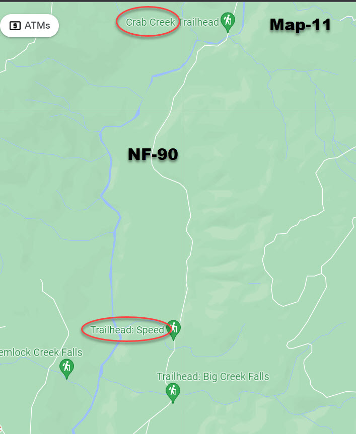
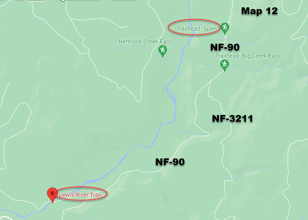
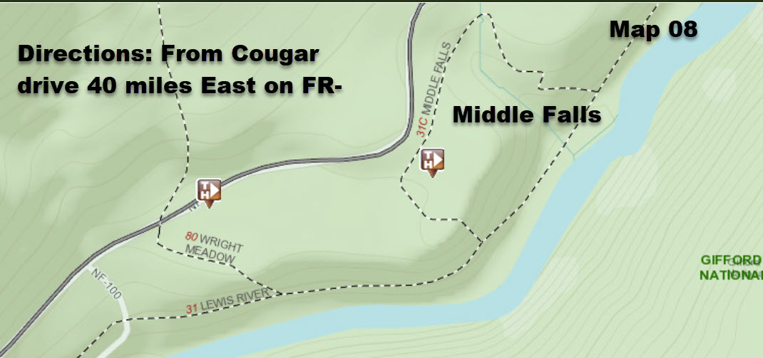
The trailhead for the Lewis River Trail is near and on the
same road as the Curley Creek Falls trailhead shown above

CC
Hikes we will do on 2nd day
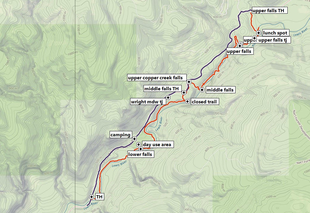
We will park at the Lower Falls and
Hike to the Middle Falls and then to the Upper Falls

Click Here to go to Lewis River Falls Trail on AllTrails.com
Click here for Lewis River Falls on Wash. Trail Assoc
Directions
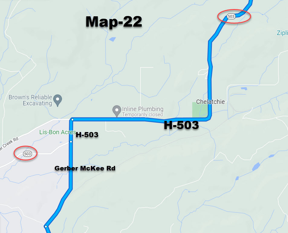
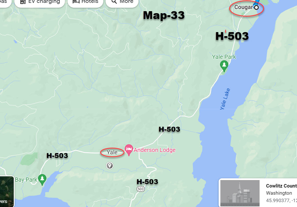
1) Highway 503 through the town of Cougar.
2) The road changes to Forest Road 90 at the Skamania County Line.
3) Continue east on 90 to a junction with FR 25.
You'll turn right here, staying on FR 90.
Cross the North Fork of the Lewis River,
pass the Eagle Creek Store and continue up FR 90 into the forest.
4) The Lower Lewis River Falls Trailhead is about 14 miles from Road 25, in the Lower Falls Recreation Area.
5) Turn right off Road 90 and right again into the day use area.
Park near the restrooms and take any of the use paths down to the Lewis River Trail.
 Click Here for Lewis River Falls from Oregon Hikers.org
There are lots of trailheads on the Lewis River that we can do on 2n;d day