Maps to the Trailhead at top of Indian Heaven
Trialhead is off of FR-24

From Carson take Wind River Road North
It becomes FR-30 (also called Meadow Creek Road)
At the intersection of FR-24 and FR-30
      turn right onto FR-24 and drive about one mile to trailhead.

Note: It is 14.5 miles from Rt 14 thru Carson and past the Fish Hatchery to where the road makes a sharp right at the junction of the road to Government mineral Springs

In another 16 miles on Wind River Hwy (and FR-30) the road turns to gravel
2.4 miles past where the gravel starts is the turn off to Placid Lake Trail #29.
Do not turn off and continue for another 6 miles to the junction of Hwy 24 to get to the trailhead at the top of Indian Heaven


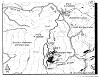
Map shows trailhead on FR-24 near intersection of FR-30
It also shows Placid Lake and Thomas Lake


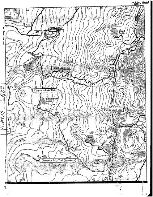
Map below shows Trailhead on FR-24
and first part of trail going past Sawtooth Mtn


Map below shows Carson Fish Hatchery
and NF-30 and Meadows Creek Road past the Fish Hatchery


Map below shows that you go past the Paradise Creek Campground


Maps below shows Pacid Lake Trailhead on Spur Road 420
Spur Road 420 is off of FR-30


Click on a Thumbnail to enlarge

1.

2.

3.

4.

5.

6.

7.

8.

9.

10.

11.

12.

13.