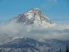
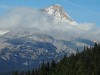
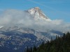
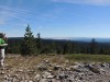
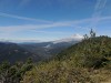
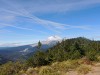
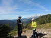
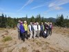
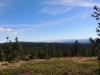
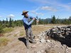
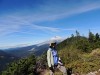
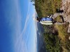
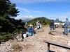
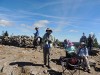
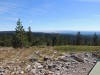
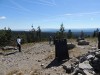
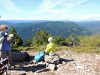
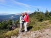
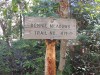
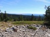
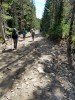
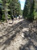
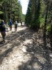
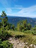
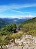
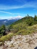
Hike to Bonney Butte
9/20/2018
1) Take Hwy 26 to Hwy 35
2) Drive about 6 miles on Hwy 35 to Snow Park on right, just past the White River
3) Turn right onto FR-48 - just past the Snow Park
4) Drive 6 or 7 miles on FR-48 to a small yellow highway sign on right
5) Turn left into unmarked, paved road
6) Drive about 1 mile on this road to a large intersection
7) Trailhead is near this intersection
1) take Hwy 26 to Hwy 35
2) Drive on Hwy 35 for 6 miles to Bennett Pass Intersection (Meadows) (FR-3550)
3) Follow Bennett Pass Rd for 3 miles to Bonney Meadows Rd (FR-4891) on the right
4) Drive on Bonney Meadow Rd for 1.2 miles to FR-4891-120
5) Go left on FR-4891-120 for .15 miles.

1. |
2. |
3. |
4. |
5. |
6. |

7. |
8. |
9. |
10. |
11. |
12. |
13. |
14. |
15. |
16. |

17. |
18. |
19. |
20. |
21. |
22. |
23. |
24. |
25. |
26. |
27. |
28. |
29. |
30. |

31. |
32. |
33. |
34. |
35. |
36. |
37. |
38. |
39. |
40. |
41. |
42. |
43. |
44. |
45. |
46. |
47. |
48. |