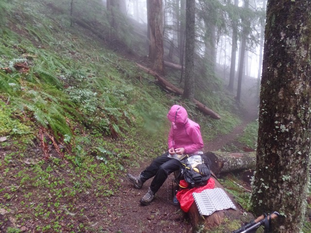
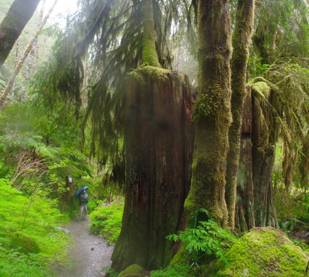
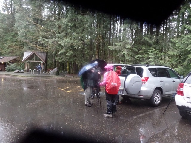
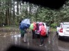
First, it rained very hard from when we left the car until we returned
Second, at the top it was snowing and sleeting.
So after being soaked in the rain for an
hour we were now walking in a cold icy wind.
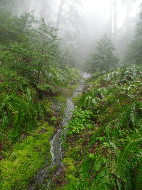
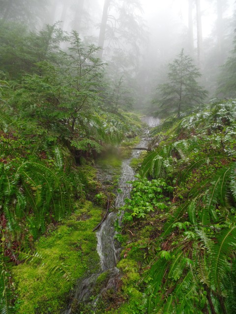
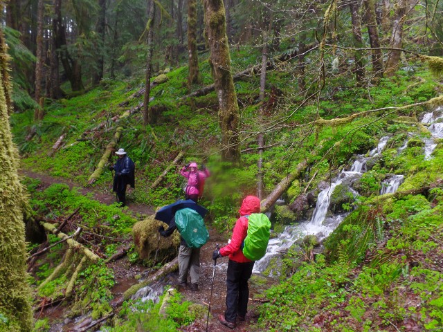
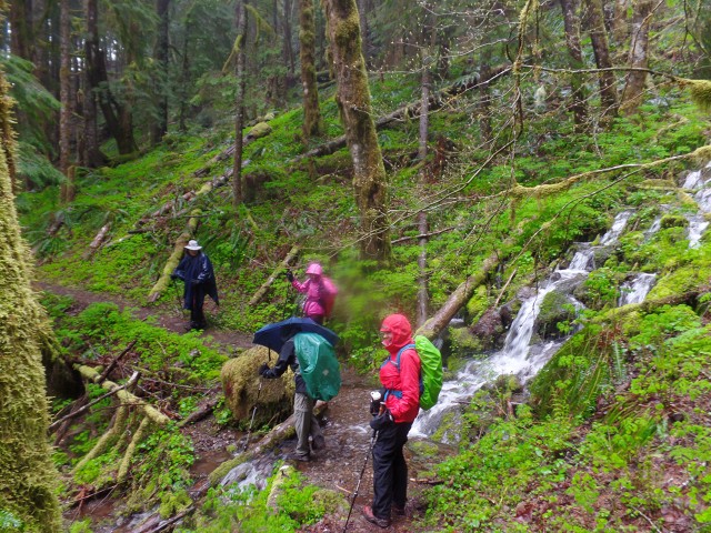
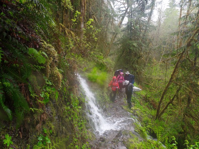
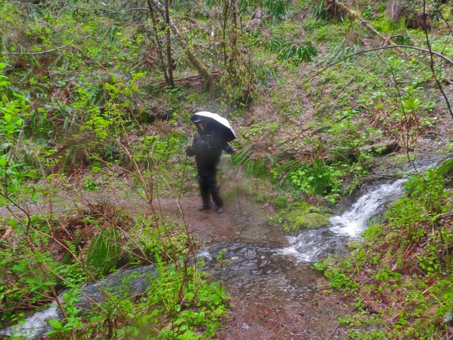
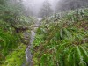
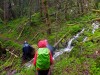
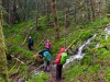
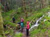
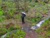
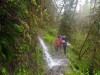
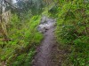
Third, there were six stream crossings
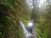
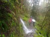
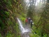
Forth, one of the stream crossings was at a waterfall where one
had to actually walk into the waterfall to keep from falling down a fifty foot cliff.
Fifth, we had to leave the trail and go down an embankment to cross a landside area.
We had to cross the area on a very unstable field of debris
Sixth, Michael saw fresh Cougar tracks in the snow at the upper elevation.
That is when the group decided to turn around and head for home.
Seven, Going up was hard, but coming down was the real problem.
A landslide had blocked the trail, and everything was now very wet,
- that is were we had to cross on an unstable debris field.
Even worst, some of the streams were now flowing very high due to the incessant rain.
One of them was literally impassible, but going the other way on the trail was not
practical either.
It is amazing what one does when there are no alternatives.
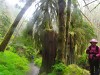
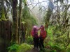
But, it was a great adventure and
We all returned safely to the car a bit tired, and a lot cold
When we finally got home, a warm house never felt better .
Thanks to Michael, our leader.
We will certainly remember this hike
Scroll down for some pictures
(sorry for the poor picture quality, but it was raining)

1) take Hwy 26 to Sandy
2) 14.2 miles passed the last stoplight in Sandy
Turn right into the Wildwood Recreational Area
3) After 0.5 miles turn left into the first parking area
4) Cross Salmon River on a bridge and head to the "wetlands trails".
5) Follow Wetlands trail to a small bridge over Sixes Creek
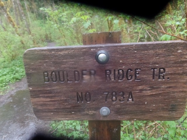
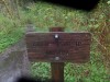
6) See sign to Boulder Ridge trail 783A

1. |
2. |
3. |

4. |
5. |
6. |
7. |
8. |
9. |
10. |
11. |
12. |
13. |
14. |
15. |
16. |
17. |
18. |
19. |

20. |

21. |
22. |