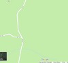
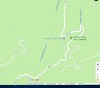
Take Wind River Highway passed Stabler
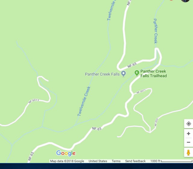
Turn onto Warren Gap Rd and proceed toward Panter Creek Campgroun
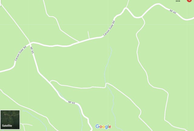
Then turn left on FR-65

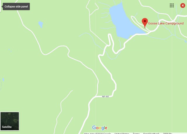
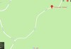
Maps to
Thomas Lake
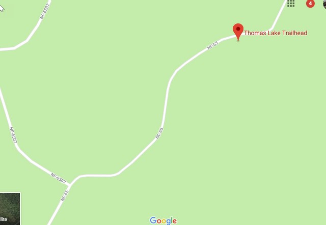

Directions to Thomas Lake Trailhead
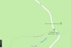
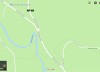
1) Take I84 to Cascade Locks (Exit 44)
2)Cross Bridge of thne Gods
3) Go right on Hwy 14
4) Drive 5.9 miles on Hwy 14 passing through Stevenson
5) Make a left toward Carson & Wind River Rec area
6) Drive 5.8 miles on Wind River Hwy
7) Turn Right onto Old State Rd for Panter Creek Campground
(Alternative was to go further on Wind River)
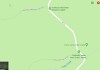
8) After 0.1 miles turn left onto Panter Crteek Rd.
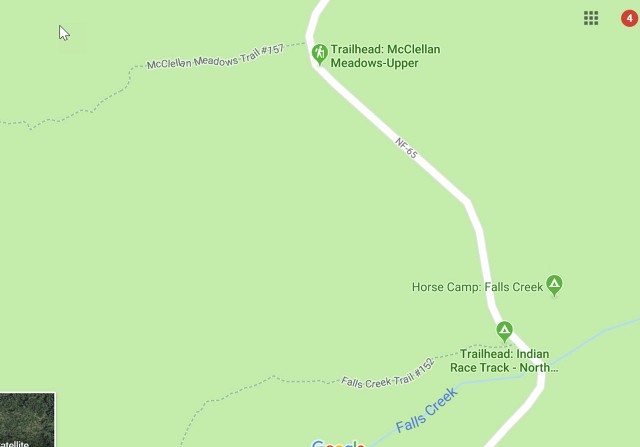
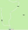
9) Stay on this road for 11.1 miles
(Note after 0.9 miles it becomes FR 65)
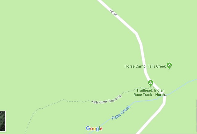
10) Keep going straight at four cornerx junction
11) Afte4r 1.9 miles there is a junction where FR 64 bears right (stay on FR 65)
12) Road becomes Gravel at this point
13) Drive 6.8 miles on this gravel road to the Thomas Lake Trailhead
|
1. |
2. |
3. |
4. |
5. |
|
6. |
7. |
8. |
9. |
10. |
|
11. |
12. |
13. |

14. |
15. |
16. |
17. |
18. |
19. |
20. |
21. |
22. |
23. |
24. |
25. |
26. |