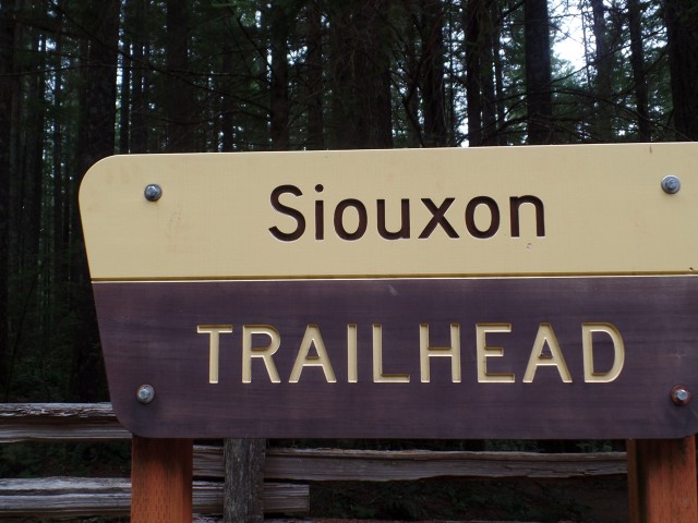
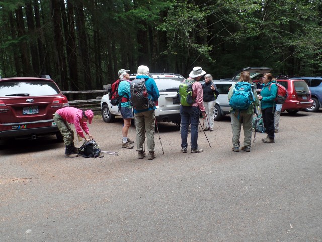
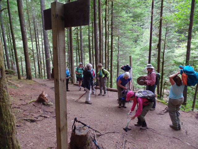
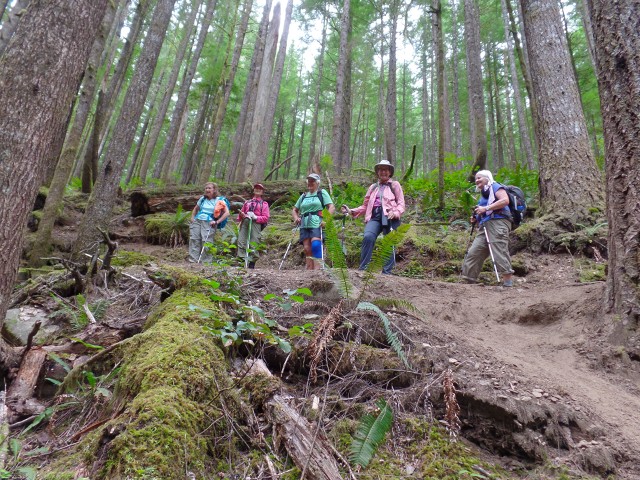
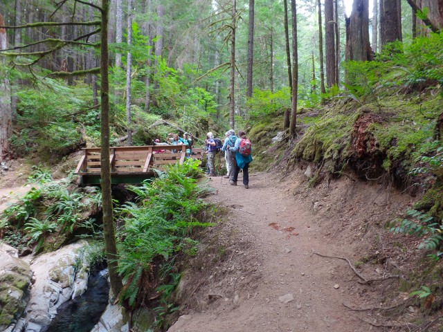
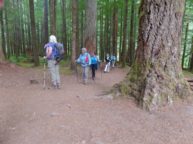
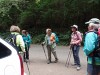
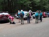
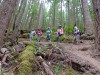
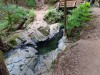
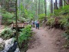
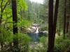
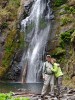
Description:
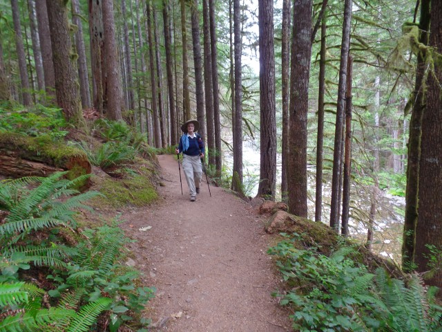
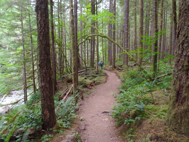
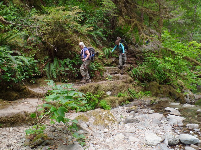
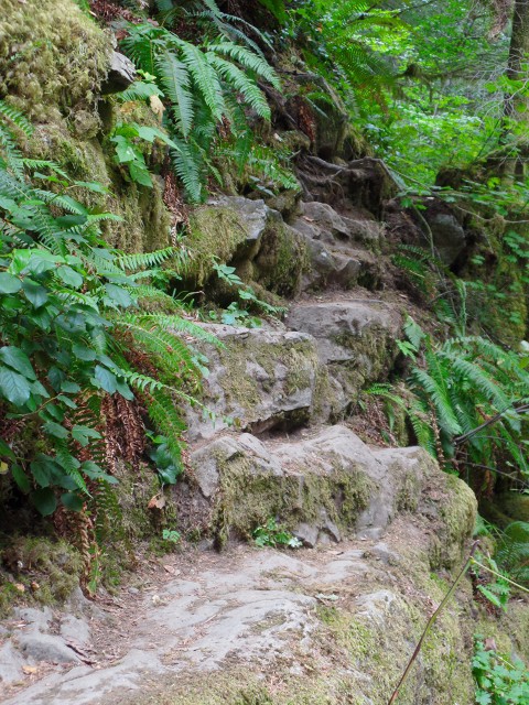
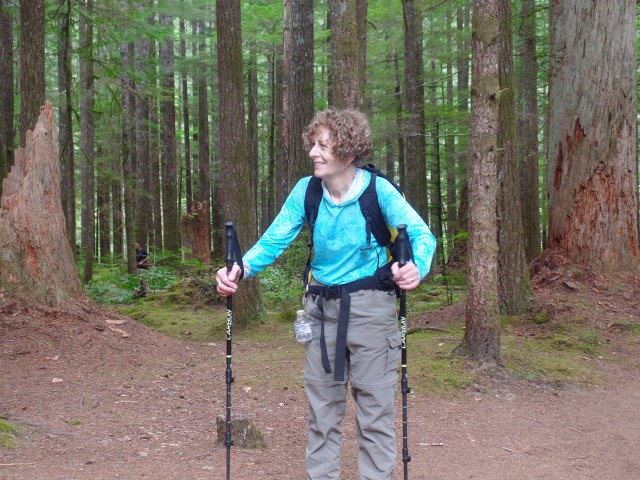
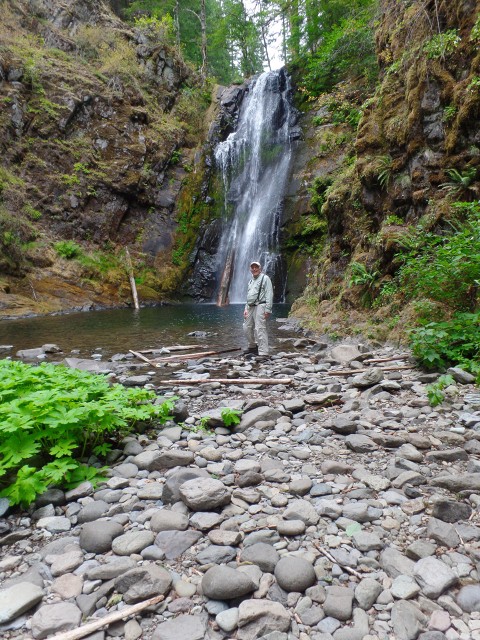
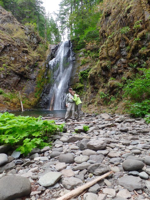
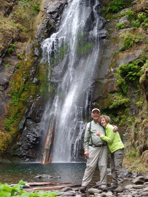
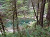
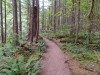
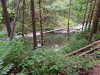
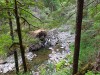
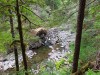
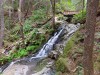
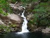
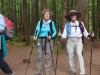
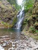
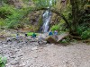
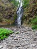
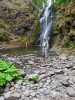
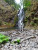
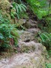
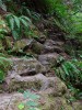
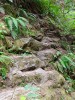
A moderate hike ( 8 miles 700 ft. elevation)
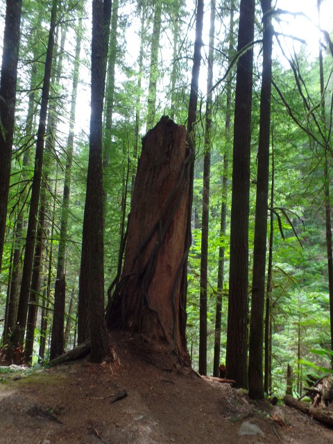
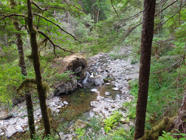
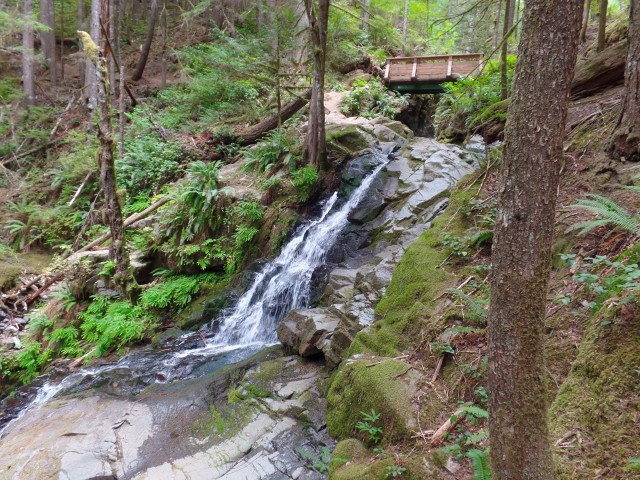
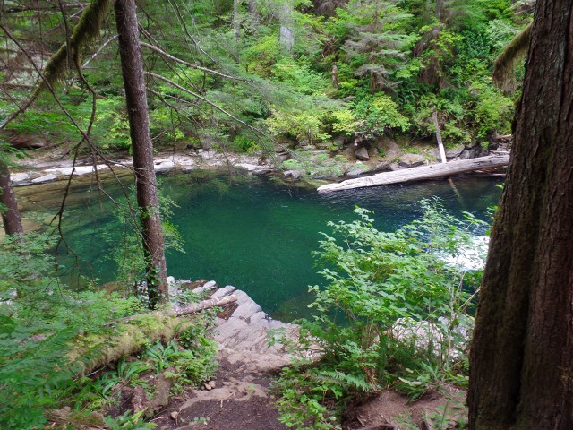
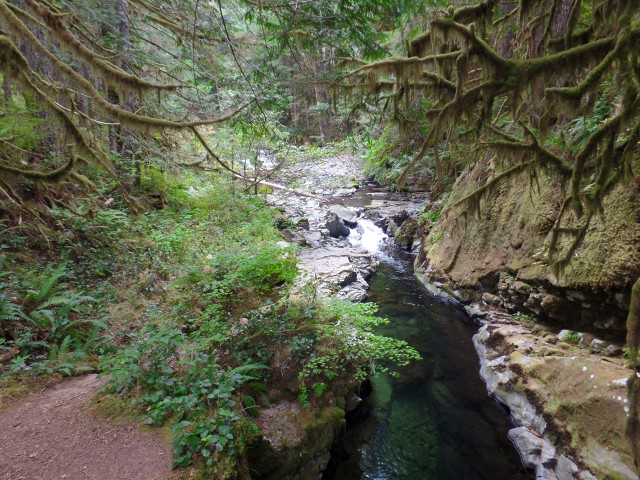
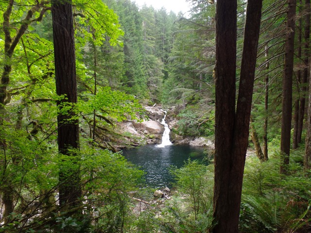
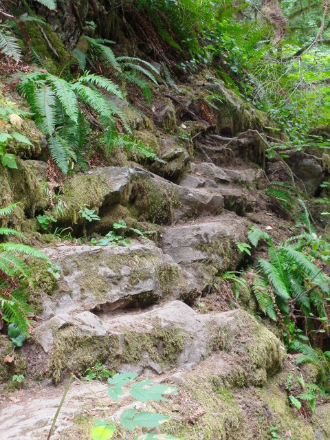
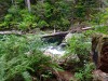
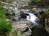
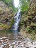
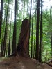
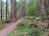
on an undulating trail through Doug firs, red cedars, ferns,
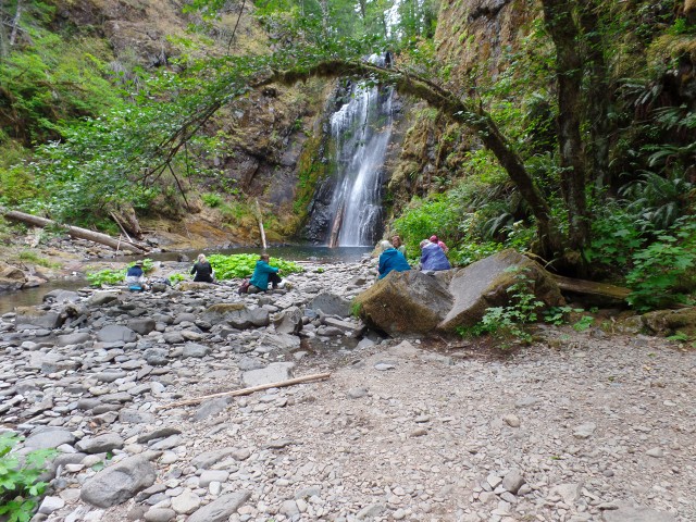
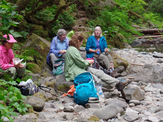
waterfalls and pools to chinook falls for a relaxing lunch.
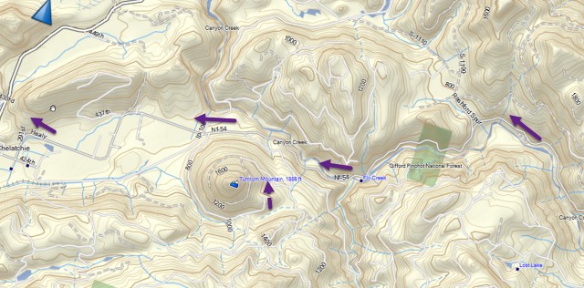


1) Drive to Battleground ( either take I5 to Hwy 502 or Hwy 205 to Hwy 500)
2) From Battle ground take Hwy 503 North toward Amboy
3) After passing Amboy - the "Mt. St. Helens Info Center" is on your left
4) Just passed the Info Center turn right on Healy Rd. (also called FR 54)
5) Drive 9.2 miles to a fork in the road.
6) Go left on FR 57 and drive for 1.2 miles
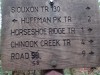
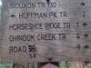
7) go left on FR 5701 and drive 3.6 miles to the Trailhead

1. |
2. |
3. |
4. |
5. |
6. |

7. |
8. |

9. |
10. |
11. |
12. |

13. |
14. |
15. |

16. |
17. |
18. |
19. |
20. |
21. |
22. |
23. |
24. |
25. |
26. |

27. |

28. |
29. |

30. |
31. |
32. |
33. |

34. |
35. |
36. |
37. |
38. |

39. |
40. |

41. |
42. |
43. |

44. |
45. |
46. |
47. |
48. |
49. |
50. |

51. |

52. |
53. |
54. |
55. |
|
56. |
57. |
58. |
59. |