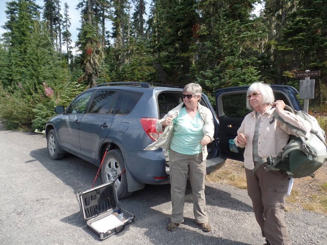
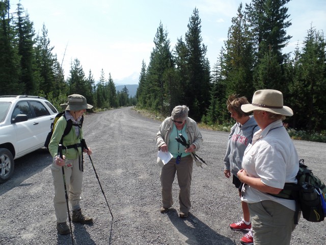
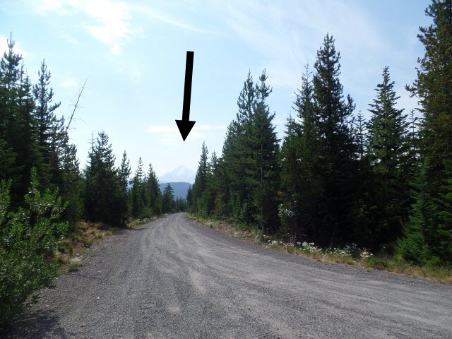
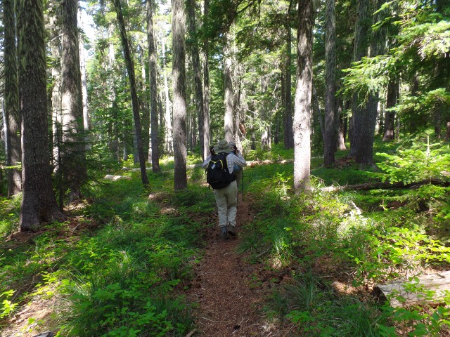
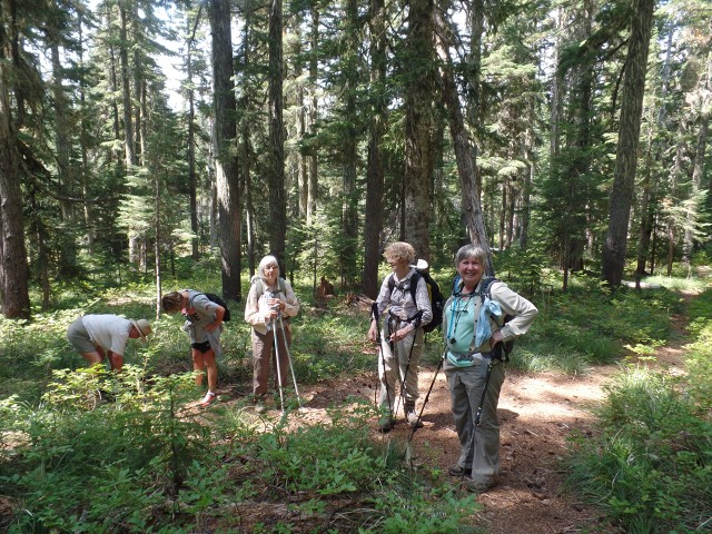
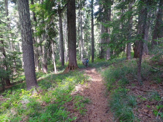
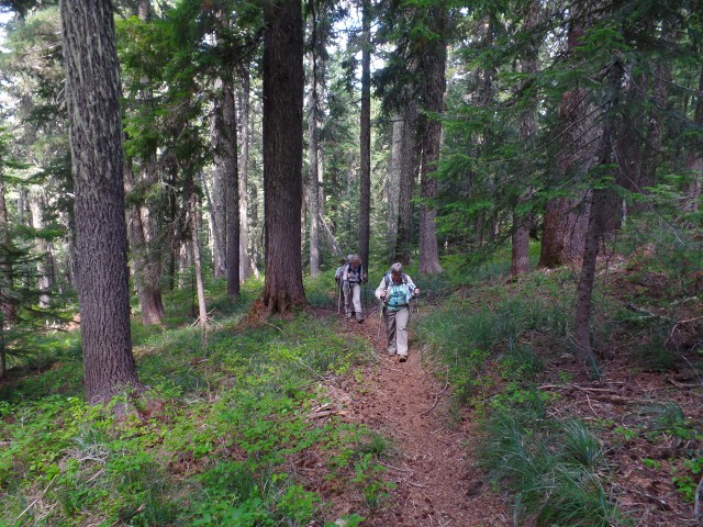
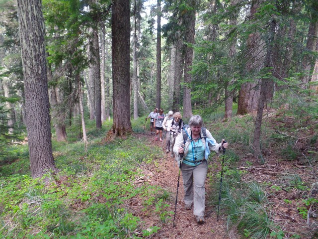
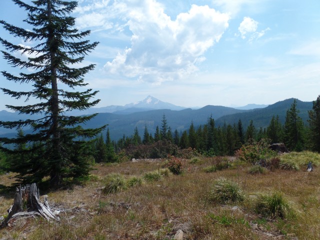
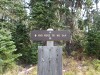
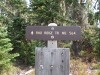
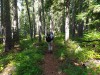
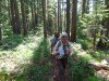
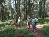
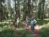
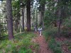
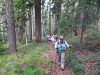
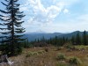
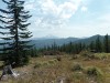
Hike along Rhododendron Ridge Trail 564
to Hawk Mountain on Tuesday 8/11/15
---- Scroll Down for More Pictures ----


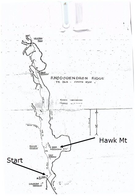
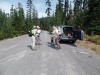
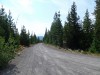
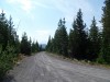
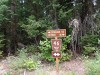
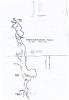
Directions to the trailhead
- Take I-5 south passed Salem
- Take exit 253 and go left on Hwy 22 toward Detoit Lake
- Drive 49 miles on Hwy 22 to Detroit Ranger Station
- Goi 2 miles passed Ranger Station on Hwy 2
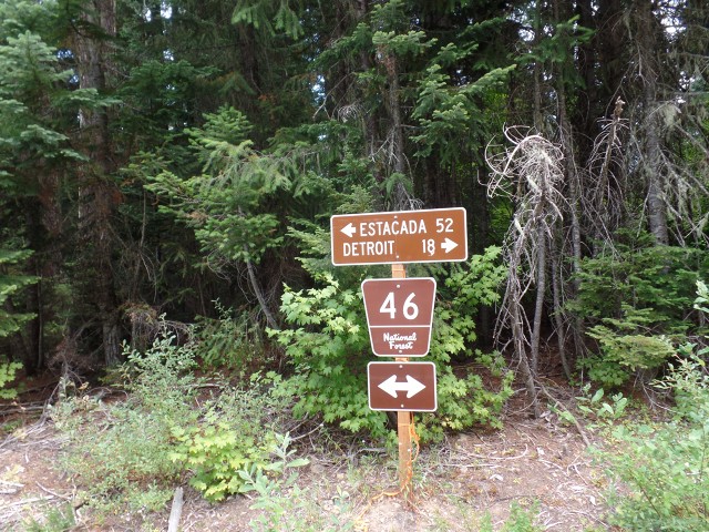
- Turn left on FR46 toward Brietenbush
- Drive for 18 miles on FR46 to FR 6350
(FR 6350 is 1 mile passed sign saying "Exiting Willametter Forest with high voltage lines nearby)
(Fr 6350 is not marked, there is a sign to Estacada facing the road entrance)
- Turn left of FR 6350
- Drive 4.8 miles on FR 6350
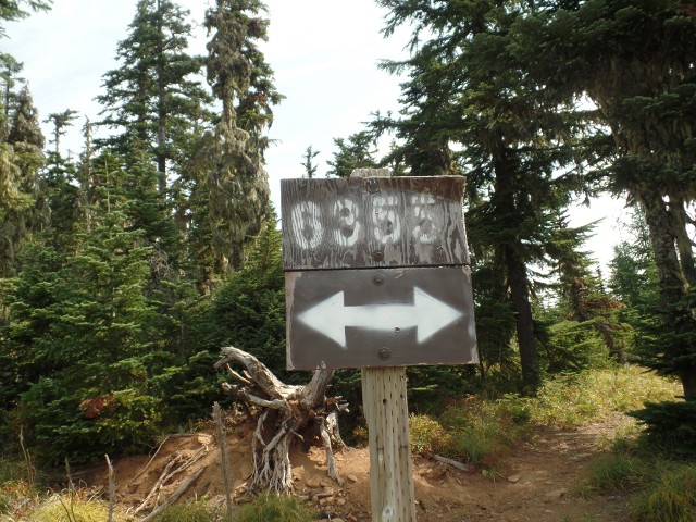
- Turn Left on FR 6355
- Drive 0.25 miles on FR 6355 to the trailhead at the intersection with FR 6355-150
(FR 6350 is 1 mile passed sign saying "Exiting Willametter Forest with high voltage lines nearby)
(Fr 6350 is not marked, there is a sign to Estacada facing the road entrance)
Do offer some comments: Message will go to Elmer
Type your message in the box below and include your name
Click on a thumbnail to enlarge
1. |
2. |

3. |
4. |

5. |

6. |
7. |
8. |
9. |
10. |
11. |
12. |
13. |
14. |
15. |
16. |

17. |
18. |
19. |
20. |
21. |