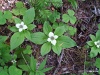
f_Bunch_berry_340 |
f_Bunch_berry_341 |
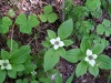
f_bunch_berry_370 |
f_bunch_berry_371 |
f_bunch_berry_372 |
f_bunch_berry_373 |
f_bunch_berry_374 |
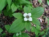
f_bunch_berry_405 |
f_bunch_berry_406 |
f_bunch_berry_407 |
f_Bunch_berry_420 |
f_Bunch_berry_421 |
f_Bunch_berry_422 |
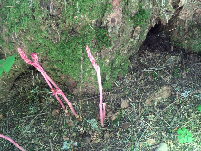
f_Coral_root_342 |
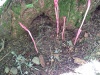
f_Coral_root_343 |
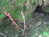
f_Coral_root_344 |
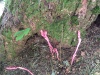
f_Coral_root_345 |

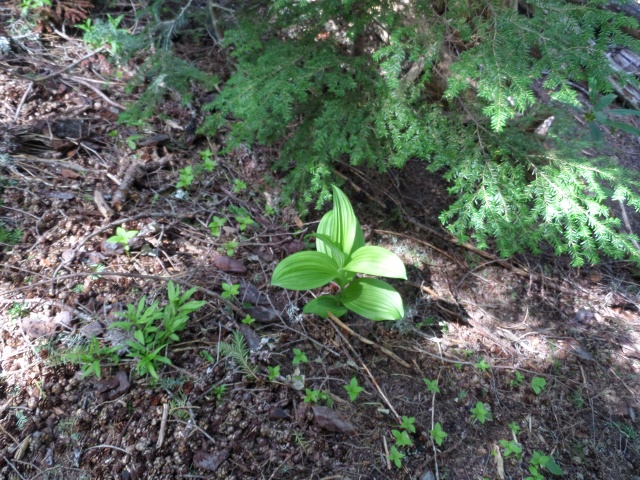
f_Corn_Lilly_385 |
f_Corn_Lilly_386 |
f_Corn_Lilly_387 |
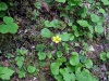
f_Oxalis_408 |
f_Oxalis_409 |
f_Oxalis_410 |

f_Oxalis_411 |
f_oxilis_352 |
f_oxilis_353 |
f_oxilis_354 |
f_oxilis_355 |
f_oxilis_357 |
f_oxilis_358 |
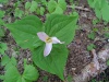
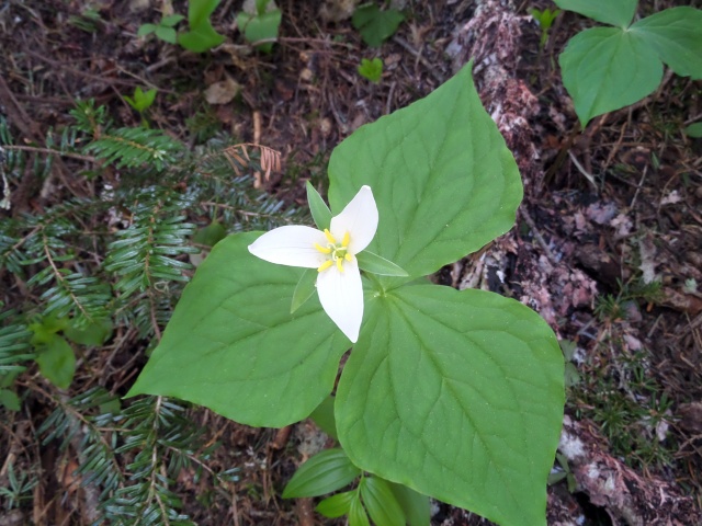
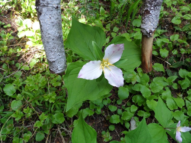
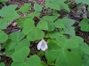
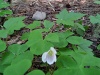
f_Trillium_378 |
f_Trillium_379 |
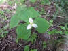
f_Trillium_380 |
f_Trillium_381 |
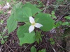
f_Trillium_382 |

f_Trillium_383 |
f_Trillium_384 |
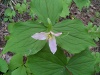
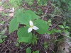
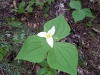
f_Trillium_388 |
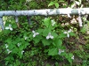
f_Trillium_389 |
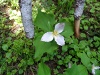
f_Trillium_390 |

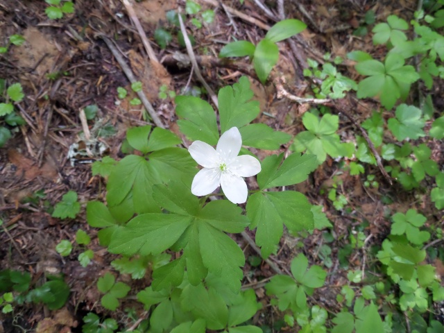
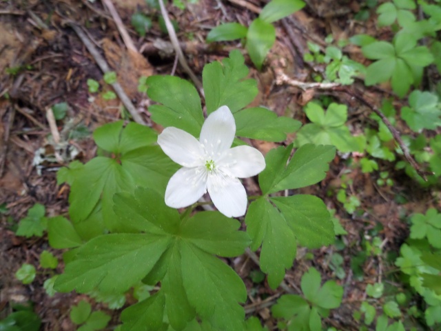
f_wind_flower_376 |
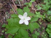
f_wind_flower_377 |
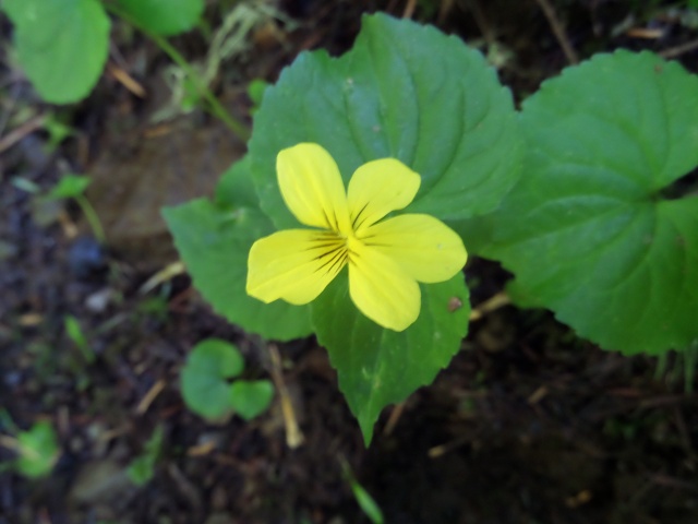
f_Yellow_412 |
f_Yellow_413 |
f_Yellow_414 |
f_Yellow_415 |
f_Yellow_416 |
f_Yellow_417 |
f_Yellow_418 |

f_Yellow_419 |
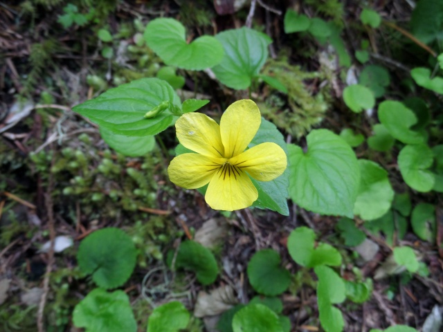
f_Yellow_423 |

f_Yellow_424 |
f_Yellow_425 |
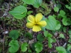
f_Yellow_426 |
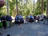
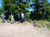
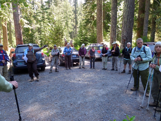
group_arrives_336 |

group_arrives_337 |
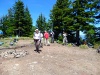
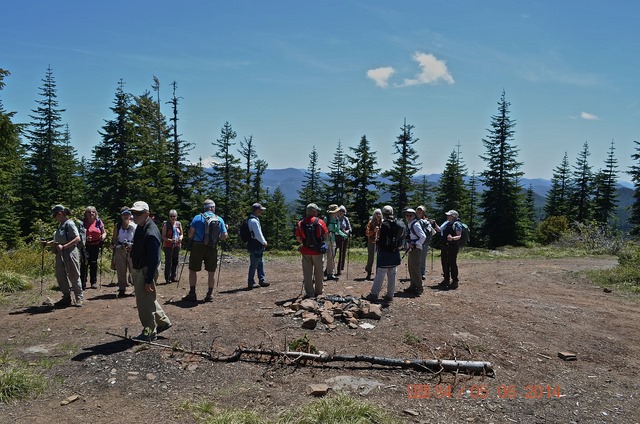
group_on_top_391 |
group_on_top_392 |
group_on_top_393 |

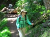
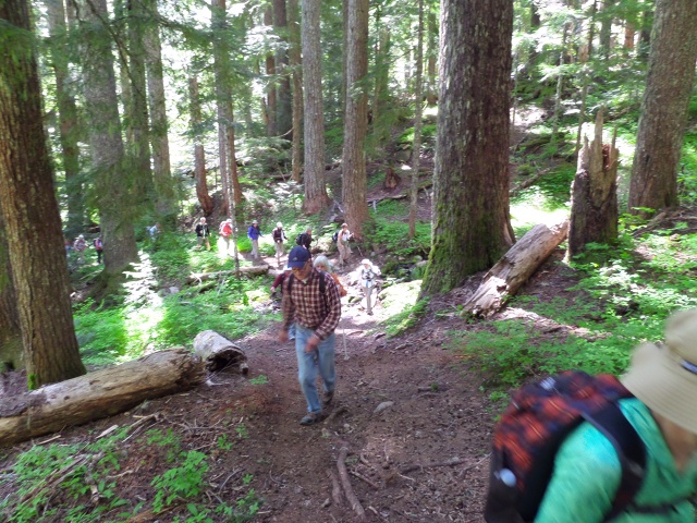
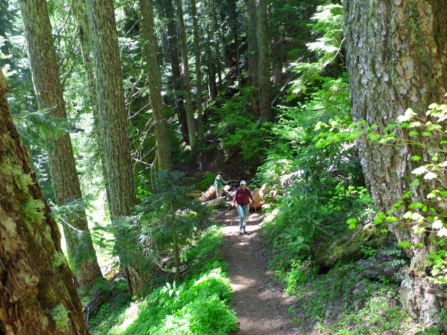
group_on_trail_338 |
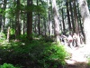
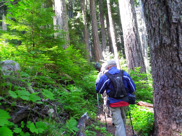
group_on_trail_346 |
group_on_trail_347 |
group_on_trail_348 |
group_on_trail_350 |
group_on_trail_351 |
group_on_trail_363 |
group_on_trail_364 |
group_stream_crossing`_361 |
group_trail_down_401 |
group_trail_down_402 |
group_trail_down_403 |
group_trail_down_404 |
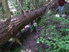
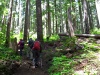
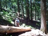
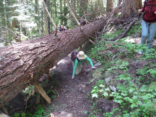
group_under_tree_359 |
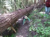
group_under_tree_360 |
p_Elmer_394 |
p_Elmer_395 |
p_Elmer_396 |
p_Joan_349 |
p_Joan_365 |
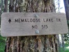
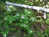
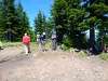
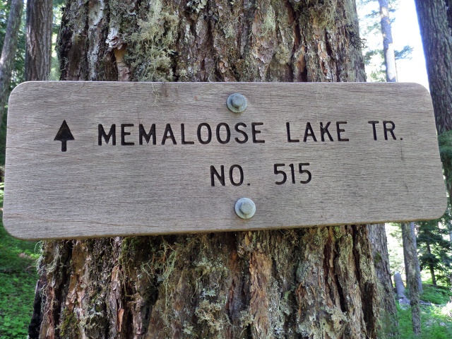
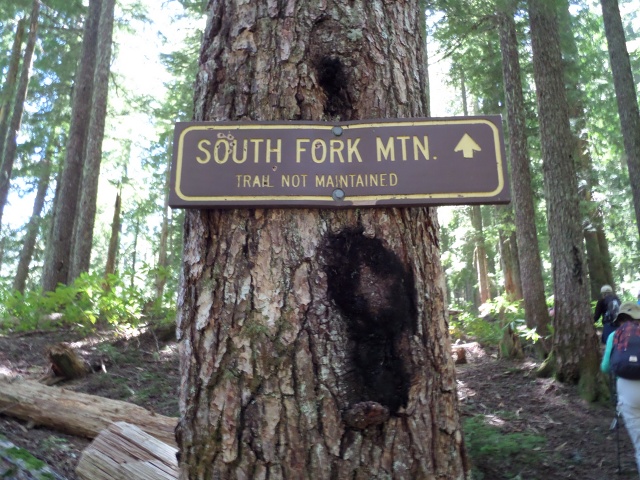
sign_339 |
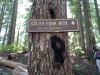
sign_375 |
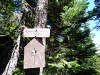
sign_400 |
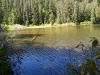
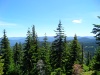
V_lake_366 |
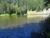
V_lake_367 |
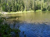
V_lake_368 |
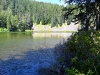
V_lake_369 |
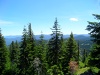
View_397 |
View_398 |
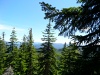
View_399 |
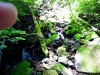
water_fall_small`_362 |
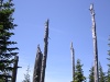
z_dead tree 022 |
.jpg)
z_dead tree 022 (1) |
.jpg)
z_dead tree 022 (2) |

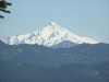
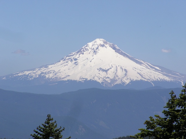
z_Hood |
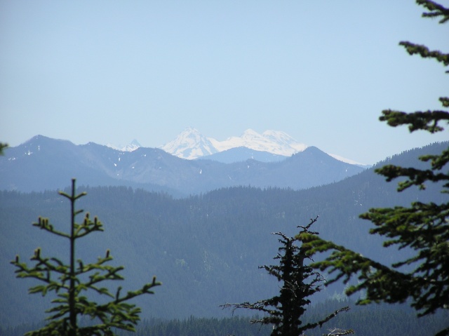
z_Jeff |
z_Memaloose 018 |
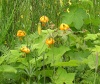
z_Tiger_lily 014 |

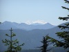
z_View 017 |

z_View_Jefferson 016 |
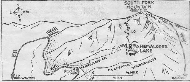
zz map |
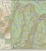
zz map large area |


.jpg)